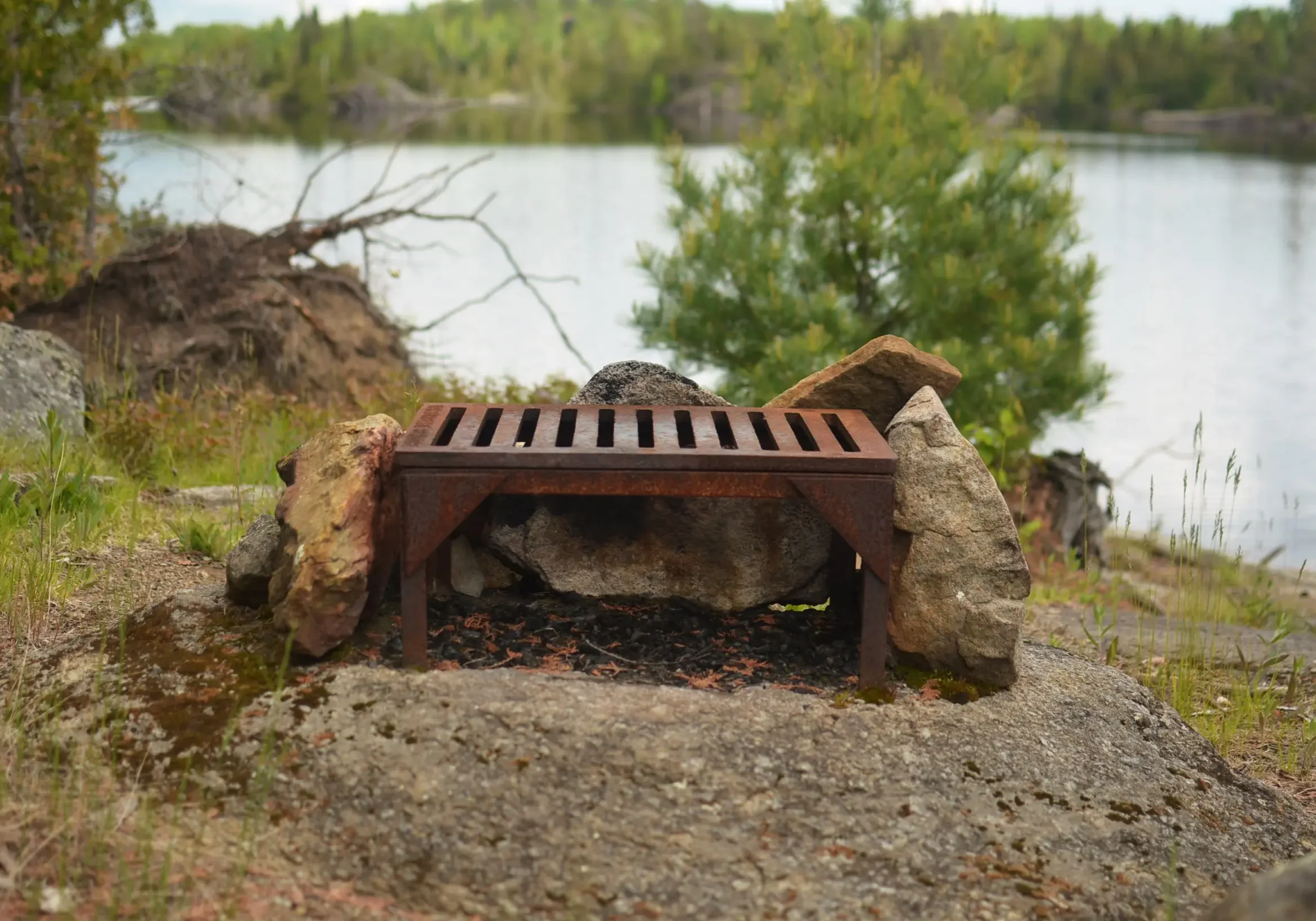
Finding a great campsite can be one of the great joys of a canoe trip. Waking up in a stand of majestic pines, enjoying a cool breeze rolling off the lake on a midsummer afternoon, and cooking over a campfire without worrying about bugs can make a campsite that much more memorable.
Occasionally, these sites are discovered by delightful accident. But consistently finding the best campsites often takes a little more work and wilderness savvy. Here are a few subtle guide tricks for finding memorable Boundary Waters campsites.
1. Find a west-facing site
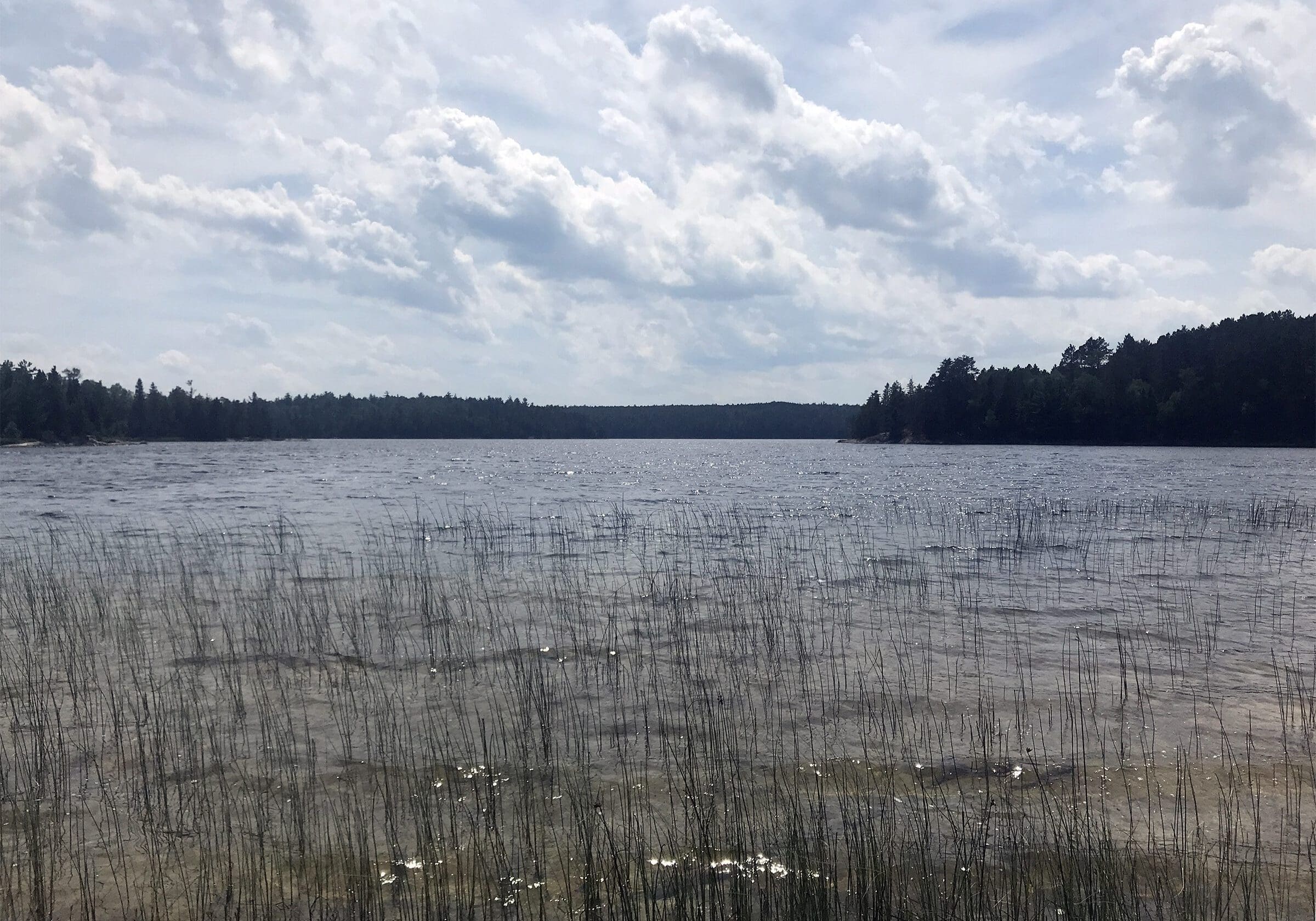
Wind often comes from the west in the BWCAW. In the summer, finding a site with western exposure helps keep camp cool and blow away the mosquitoes. Of course, in early spring and fall when bugs aren’t an issue, just the opposite might hold true if you want to escape the wind in the colder temperatures.
2. Look for mature pines clear of underbrush
Sites with mature pines and an open forest floor often have fewer bugs.
While thick underbrush and swampy areas hold bugs, the breezy, open forest floor and lack of favored habitat in some mature pine stands tend to keep the bugs away for much of the day.
Not to mention that camping in a majestic pine forest carpeted in soft pine needles is one of the joys of canoe country.
3. Travel early in the day and beat the crowds
Sunrise is often the most peaceful, beautiful time of day in the Boundary Waters. The wind has yet to pick up, the wildlife is undisturbed and active, and many other groups are still asleep. And paddling in the cool of morning is a welcome escape from hot summer afternoons.
While the BWCAW is still a secluded refuge from civilization, during peak paddling season (late June through mid August) you’ll probably run into plenty of other paddlers, especially near entry points and the more popular lakes. By aiming to reach your destination campsite around lunch or shortly thereafter, you’ll beat most of the crowds and often have the first choice of campsites on your target lake. And it’s a mighty fine feeling to eat lunch at that beautiful five-star campsite while watching other groups paddle by. Arriving early in the day also allows time to relax and enjoy the rest of the afternoon in camp.
4. Scout ahead of time with online tools
Using the internet to scout campsites and portages might feel like cheating to some. It’s completely understandable if this diminishes the simplicity and delightful unknowns of a BWCAW canoe trip for you. But knowing the lay of the land and reading trip reports from other paddlers can lead to a very enjoyable trip, still full of adventure and curiosity fueled by the hints and descriptions found online. When time in the woods is at a premium (which it is for most folks, myself included), knowing which campsites are favorable can save time and travel. And a great campsite can make a trip that much sweeter.
Two favorites include paddleplanner.com and bwca.com
5. Look out for widowers!
Be sure to check your site for dead or unhealthy trees or branches hanging over tent pads, especially if in the warm months of summer when thunderstorms are common. Find the “lightning tree” (the tallest in the area) to gauge where lightning strikes pose the most risk, as root systems sprawling away from the tree can carry a lightning strike a long distance. Keep in mind that wind often comes out of the west, though during storms wind direction can be unpredictable. Straight-line winds in the BWCAW are not a joke, and injury or worse from a fallen tree is not worth saving the little bit of extra time it takes to find a site without hazards.
Finding a campsite with fewer bugs, relief from the weather, and a chance to avoid the crowds can help make a canoe trip that much sweeter.
While favorite sites are occasionally discovered unexpectedly, following these tips will help you find favorable campsites more consistently on your next trip into canoe country.
Sign up for our newsletter to receive updates about new articles, great deals, and information about the activities you love and the gear that makes them possible:
Have You Read Our Other Content?
Map Mondays – Week 2 – Kawishiwi Lake to Stuart River
As part of our continuing series on the “route planning game,” we are creating routes using randomly selected entry points, exit points, and number of days to create unique and fun BWCA routes. This week is a fast-moving 5-night trip from Kawishiwi Lake to Stuart River. It crosses some of the quietest stretches of the…
Map Mondays – Week 6 – Duncan to Duncan
As part of our continuing series on the “route planning game,” we are creating routes using randomly selected entry points, exit points, and number of days to create unique and fun BWCA routes. This week is a nice sightseeing and exploring kind of route entering at Duncan Lake east of the Gunflint Trail. Total Mileage:…
Three Generations of BWCAW Rules Videos – Side by Side
It’s as ubiquitous of an experience as one can find tied to a canoe trip into the Boundary Waters, and the memories of it are deeply rooted in my childhood as they are for many who make the annual pilgrimage north to paddle the border waters of canoe country. Even now, I can close my…
Footsteps of the Past – Tracing Minnesota’s Historic Portages
. In 1992, a report was concluded as portages of historical significance were surveyed in order to be included in a bid for the National Register of Historic Places. As part of this survey, archeologists looked for signs of the past and recorded the conditions of the trails and how time had changed them. The results were varied. Some trails had vanished completely or become so overgrown that they were nearly impossible to follow. In a few places in Minnesota though, there are still opportunities to trod in the tread of voyageurs and native peoples alike with a canoe on your shoulders and a sense of adventure in your heart. The spirit of the portage is still very much alive in the land of 10,000 lakes. Here are some of the most historic portages in the state.
A Few Tips for Faster Portaging
“Anyone who says they like portaging is either a liar or crazy,” said Bill Mason, the legendary Canadian paddler and environmentalist, in his 1984 film Waterwalker. While there’s a gritty sense of satisfaction in carrying your entire camp over rocks, roots, and trees, for most paddlers portages are something to be completed rather than savored. And…
From the Boundary Waters to Superior – How the Water Falls
The Boundary Waters are one of the premier destinations in Minnesota and across the Midwest, but, as far as water is concerned, the Boundary Waters are not the end of the journey, but the beginning. Most people enthusiastic about the Boundary Waters know that it is divided into two watersheds along an invisible line known…
Map Mondays – Week 9 – Trout to Moose River South
As part of our continuing series on the “route planning game,” we are creating routes using randomly selected entry points, exit points, and number of days to create unique and fun BWCA routes. This route highlights a route across the rugged western section of the BWCA. Check it out: Total Mileage: 35.2 milesNights: 5Paddle Distance:…

