As part of our continuing series on the “route planning game,” we are creating routes using randomly selected entry points, exit points, and number of days to create unique and fun BWCA routes. This week’s route running from one of the BWCA’s quietest entry points to one of the busiest, embraces a mentality of solitude at any cost. The route tends towards out-of-the-way campsites for the sake of avoiding other groups, even if it’s just for the evening. Let’s check it out!
Total Mileage: 98.1 miles
Nights: 9
Paddle Distance: 81.9 miles
Portage Distance: 16.2 miles
Day 1:
Miles: 11.8
Target Campsite: West Otto
Description: Morgan Lake is an out-of-the-way entry down one of the rougher entry point roads servicing the BWCAW. The North Lima Grade, a former railroad, is in noticeably worse condition than the southern portion near Bower Trout and Ram. Low-clearance vehicles have to be paying attention, especially in the spring when water levels routinely come over the road. The entry point is an adventure in itself. The parking lot can only fit a few vehicles beside its classic brown wooden entry point sign (none of the Lima Grade has been upgraded quite yet.) The mile-long portage starts along a boardwalk and winds along numerous marshes before ending at Morgan Lake. Though the terrain around Morgan Lake is relatively flat, it provides access to the nearby Misquah Hills where most of the highest elevation points in Minnesota can be found. From Morgan, portage first into Vista Lake before heading north into relative traffic around Horseshoe and Gaskin. Paddle to the end of Gaskin past the remnants of the Red Eye Lake Burn of 2006. As noted by Miron Heinselman, portions of Gaskin’s southern shore held White Pine dating to the late 1600s … old, old trees that had dodged nearly every fire for over 300 years. All that changed when, first, the ’99 blowdown rocked part of this area before the 2006 fire, which was never much more than a mile wide, seemingly targeted right in on the old trees. From the end of Gaskin, portage up into Henson and paddle down the shore. After passing the bay heading toward Flicker and Creeper Lakes, there will be a small campsite on the righthand side tucked amongst a bunch of large pines. Somewhere on the opposing shore is the portage to West Otto. If you are using a McKenzie Map, this may be drastically miss-marked. The portage goes steeply up past a small rockface before dropping down towards the lake. West Otto is actually a pretty neat lake to stay for a night. There are two campsites: one that everyone who makes the effort to come back here goes for and the other one. I have spent the night in the “other one” and it’s not that bad. It actually feels like a semi-remote Quetico site except that it technically has a grate and a BIFF. In any case, spend the night at one of these sites. Take the unmarked portage back to the eastern neighboring lake if you want and enjoy the solitude.
Things to See: Quiet Lakes and the Misquah Hills.
Day 2:
Miles: 12.1
Target Campsite: Frost Lake
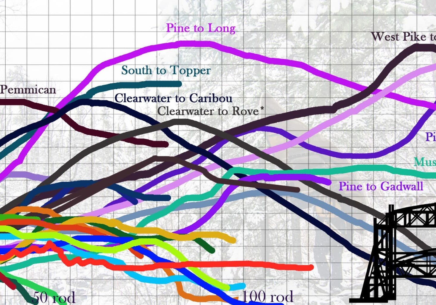
Description: This travel day may be a long one, so get cracking early. The first step is portaging out of the Ottos back to Henson. Take the portage over into Omega (often typo’d as Oemga on printed maps) and then on to Kiskadinna. The portage out of Kiskadinna is an infamous one (see our article about the tallest portages in the BWCA for illustration) due to its steep middle section. You will be heading downhill through it. The portage out of Muskeg is a boulder pile beyond a beaver dam; proceed carefully. You are now paddling through the remnants of the Famine Lake fire which was burning at the same time as the Red Eye Lake fire encountered earlier. Paddle down Long Island Lake until the southwest corner. It is some brief portaging to get into Gordon before a little longer portaging to get into Frost. Frost is a beautiful, quiet lake known for its beach campsites. Pick your favorite and enjoy another evening in the BWCA
Things to See: Legendary Portage
Day 3:
Miles: 7.3
Target Campsite: Afton Lake
Description: It’s shorter mileage this day, but it will be well-earned. The beautifully remote Frost River can be tedious in high water and a downright march in drought. There are numerous beaver dams and rock rapids to navigate. I have never found the Frost to be some borderline insurmountable obstacle as some descriptions on the internet may claim, but it’s definitely a challenge. There’s plenty of beauty and tranquility to be found as well as a couple of quaint waterfalls along the way. Enjoy the journey, but don’t be complacent about travel times! The Frost will take awhile and there are not many campsites. The one you are targeting for the evening on Afton is the only site on the lake. If it’s full, it’ll be an exhausting late afternoon portage to Hub Lake. Hopefully it’ll be open!
Things to See: The Beautiful Frost River
Day 4:
Miles: 8.4
Target Campsite: Wine Lake
Description: The next morning, take the short but VERY steep portage to Fente before turning south onto the nearly mile-long portage to Hub. This portage doesn’t see much traffic (for fairly obvious reasons) and should provide the bulk of the day’s hardship. From Hub, portage into Mesaba. Perhaps trolling on your paddle south will yield a Lake Trout or two on this out-of-the-way lake. Take the next portage into Hug, Duck, Zenith, through the marshy creek to Frederick, and then up and over the steep ridge to Wine. Take whichever campsite suits you on this lake. There will likely be options as all approaches to Wine take a fair bit of physical toll. I have the map above set for the most remote of the sites for the sake of the theme.
Things to See: Isolation and Lake Trout
Day 5:
Miles: 8.5
Target Campsite: Boze Lake
Description: Head for the back bay to start the morning. Don’t be tempted to take the creek instead of the portage; your canoe (and your personal well-being) depends on it! This portage works around Mug Lake Falls, a spectacular adornment for an otherwise un-memorable lake. It’s a short up-and-over to Poe before starting the Louse River. The Louse is at least as taxing as the Frost with numerous beaver dams and portages. Your shoulders will thank you at this stage, if they have not already, for your previous good decisions on yoke pads! The average portage on the Louse is longer than on the Frost and the relatively few visitors means portages can be overgrown. Travel with caution. Near the end of the river is a small lake known as Boze. Camp here for the night.
Things to See: Mug Lake Falls
Day 6:
Miles: 9.3
Target Campsite: Fee Lake
Description: After portaging the remainder of the way out of the Louse, you’ll find yourself in the watery intersection known as Malberg Lake. This widening of the Kawishiwi has routes heading in a few different directions. Take the portage northeast towards Kivaniva. It’s a series of tiny lakes from here. Makwa is known for its magnificent striped cliffs which are worth a stop. From Makwa, it’s on to the three-letter chain, a collection of large ponds with long portages between them crudely noted as being lakes with three-letter names that inspire four-letter words from those portaging through. No campsite in the chain will be making any outfitter-recommended 5-star site lists, but there is charm and solitude to be found.
Things to See: Makwa Cliffs
Day 7:
Miles: 13.1
Target Campsite: Fishdance Lake
Description: A journey further west through the marshy lakes leads towards a wonderful section of the BWCAW. After overcoming the portage to Boulder, the lakes deepen and the terrain becomes more pronounced again. There are few finer stretches of remote, small water in the BW than Boulder, Adams, Beaver with beautiful portage trails between. From Beaver, it’s on to Trapline. Even in an article about quiet campsites, I can’t suggest staying on that lilly-choked mountain of a site. Continue south past River Lake around the gorgeous rapids to Fishdance. Keep an eye on the shore for ancient red and white pines that survived the last fire here well over 100 years ago. They stand proudly in a sea of jack pine. Head south to visit the famous pictograph set and choose a campsite for the evening. The further out of the way you go, the deeper the quiet.
Things to See: Rapids and Pictographs
Day 8:
Miles: 8.8
Target Campsite: Lake Insula
Description: Head north back past the pictographs and west towards another beautiful string of rapids. This will bring you towards Alice Lake before turning southwest through the channel into the back bay of Insula. Insula is a large lake with plenty of visitors, but quiet can still be earned here. The further one heads off the track from Hudson to Alice, the better the chance of having a space to yourself. The southern half of the lake burned in Pagami Creek so the better campsites are mostly situated to the north now.
Things to See: More rapid sets
Day 9:
Miles: 8.7
Target Campsite: South Wilder
Description: Waking up on Insula is always wonderful with the sunlight peaking between island channels. Head for the scenic portage to Hudson with its big overlook through the open burn zone. Paddle across Hudson towards the creek mouth which will lead back towards the Wilders. North Wilder itself is plenty quiet, but for a truly out-of-the-way experience, fight your way down to South Wilder. There’s a single canoe site supposedly reopened after Pagami Creek waiting down there. For evening entertainment, the Pow Wow Trail has been meticulously reopened by hard-working volunteers and there’s a nice overlook of South Wilder from the hiking campsite in the northwest corner of the lake.
Things to See: Hudson Overlook, Pow Wow Trail
Day 10:
Miles: 10.1
Target Campsite: Exit
Description: For the sake of solitude, I have this route finishing in the evening to allow the final night’s stay to be pretty remote. Waking up at South Wilder still demands a bit of work for the casual canoe group to exit that day. From North Wilder, it’s over to Harbour and Brewis and then Horseshoe. Navigating Horseshoe is as easy as it comes; just aim for the unburned portage. Across the portage is the numbers chain. Head out to make it back to Lake One and your exit.